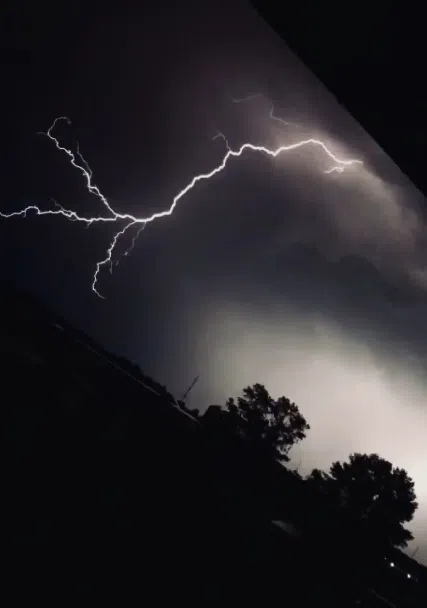
Lightning fans out over Northeast Wisconsin. July 19, 2020. (Photo courtesy: Jamie Lynn Malone)
(WTAQ-WLUK) — Rounds of strong to severe thunderstorms are sweeping through the region Wednesday afternoon and evening, bringing threats that range from damaging winds and large hail to an isolated tornado and localized flooding.
Current power outages
Storms are expected to intensify as they move northeastward between 3 p.m. and 8 p.m. Damaging wind gusts and large hail are expected to be the primary threats, with an isolated tornado threat that cannot be ruled out. Areas with the greatest severe threat is expected where Severe Thunderstorm Watch is currently in effect. Additional thunderstorms could develop along a cold front later this evening.
Please monitor weather updates and have multiple ways to receive warnings.


Comments